|
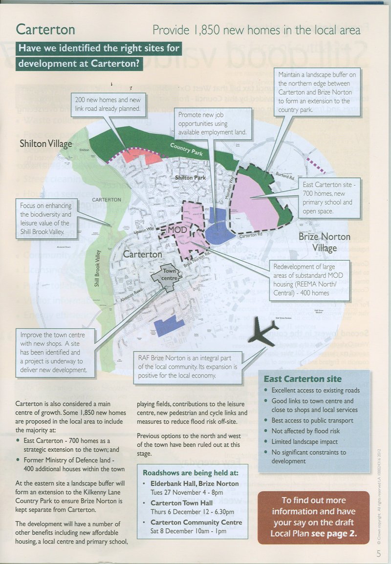
The proposed development is apparently not affected by flood
risk, but, certainly, the village of Brize Norton will be!
It will
greatly increase flooding problems which already
exist in Brize Norton village, the road between the village
and Carterton and on Monahan Way. Brize Norton village
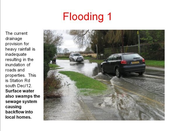
properties and Station Road are frequently flooded now after
heavy rain- a problem that has increased enormously since
Shilton Park was built. The proposed new housing in
BAD PLANNING and disregards the flooding risks
elsewhere and is therefore UNSUSTAINABLE [MF
27/11/12]
The
repatriation route could be blighted by further
flooding; an alternative route may be needed. BAD
PLANNING.
[MF 27/11/12]
The photos to the right were taken on the junction of
Carterton Road and the "driveway" to the new RAF medical
facility. As shown in the enlarged map below.

|
|
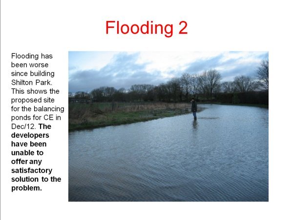
In a river catchment that is already prone to flooding,
and in which there is "no space for water". One of the key
drivers behind Sustainable Urban Drainage Systems (SUDS) is
the requirement to "Make Space for Water". The Shillbrook and the tributaries impacted
by the west development are undeveloped and therefore there is land
available to "Make Space for Water". There is no more space for
water in the East and we, in Brize Norton, already flood. We
suggest that the sustainability matrix that WODC published is
clearly WRONG when it provides the east with a more sustainable
score than the west for "Reduce the risk from all sources of
flooding". [Parish
Council]
See the letter from Les Marshall
here
Taken on Friday 23rd November 2012 looking towards the new RAF medical
facility.
Taken on Friday 23rd November 2012 looking at the new RAF Medical facility
Taken on Friday 23rd November 2012 looking across the proposed
development towards the Shilton Park Development.
See more pictures here
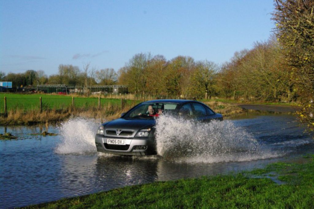
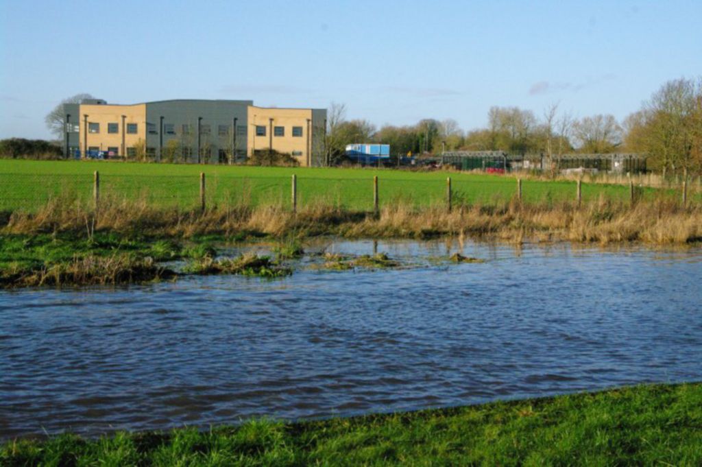
Flooding across Carterton Road am Sunday 25 November 2012, at corner of
proposed new development.
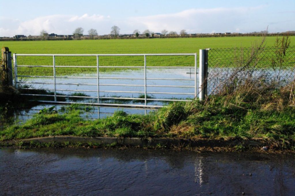
Flooding across Carterton Road am Sunday 25 November 2012, with flooding
across the fields at side of proposed new development .
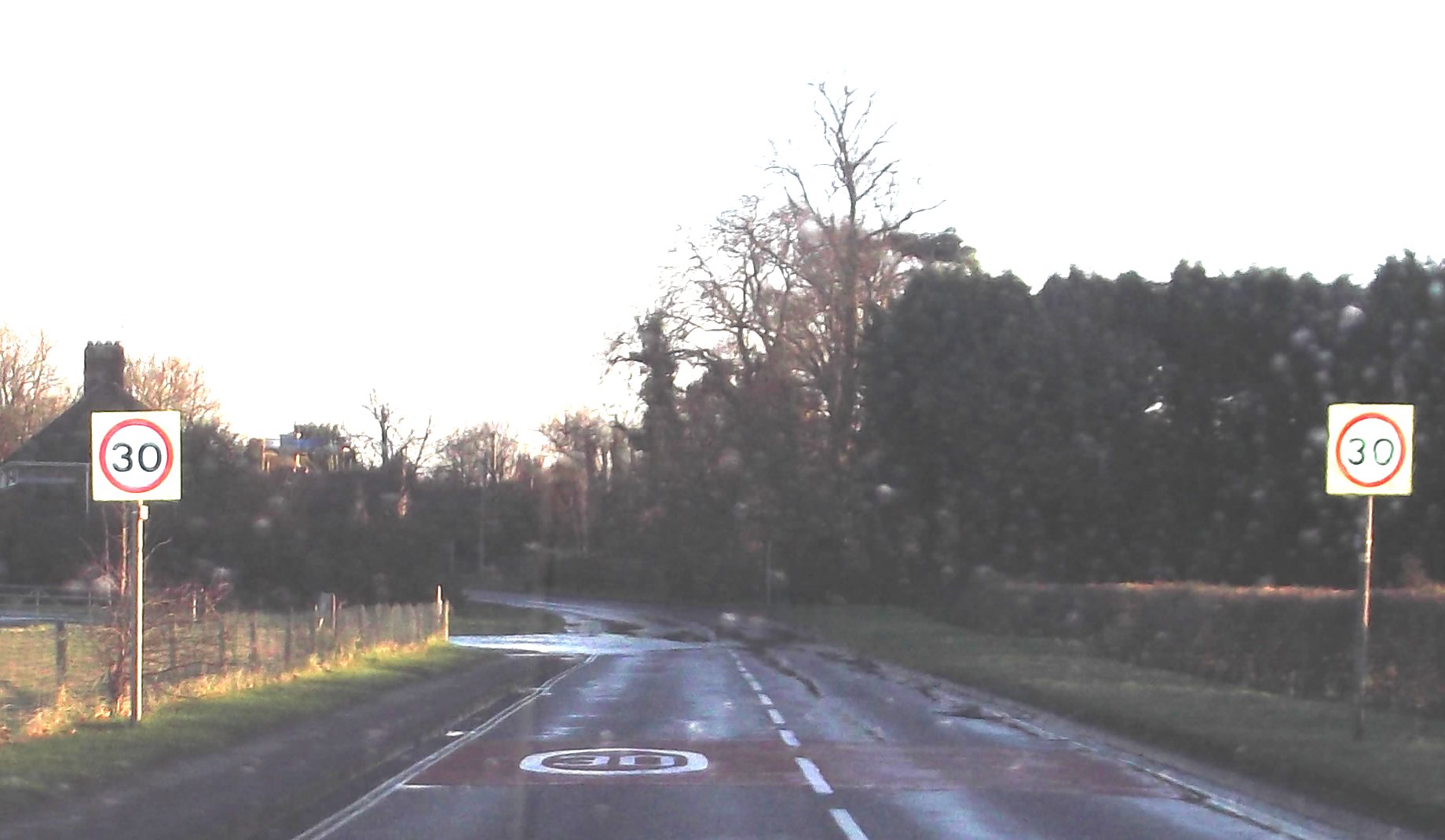
Elsewhere in the village:
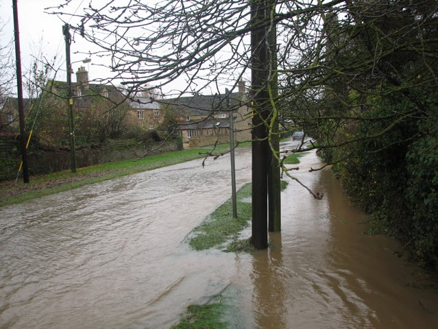
Flooding in Station Road, also on the Repatriation Route through the
village
|